
There’s a growing excitement across a range of industries about UAV LiDAR. However, this excitement isn’t related to the factors that usually come along with a much-hyped industrial innovation. UAV LiDAR isn’t necessarily going to make UAV mapping and surveying any cheaper. It isn’t necessarily going to be any quicker than UAV photogrammetry or other current industry standard drone mapping and surveying strategies either.
Instead, LiDAR sensors for drones are bringing leading edge surveying to technology to industrial organizations around the world. Not only is UAV LiDAR collecting the most precise and thorough point clouds and producing unrivaled 3D mapping, but it’s also enabling accurate surveying in three environments where it was either prohibitively difficult, dangerous or expensive.
Finding a way through canopy and dense vegetation
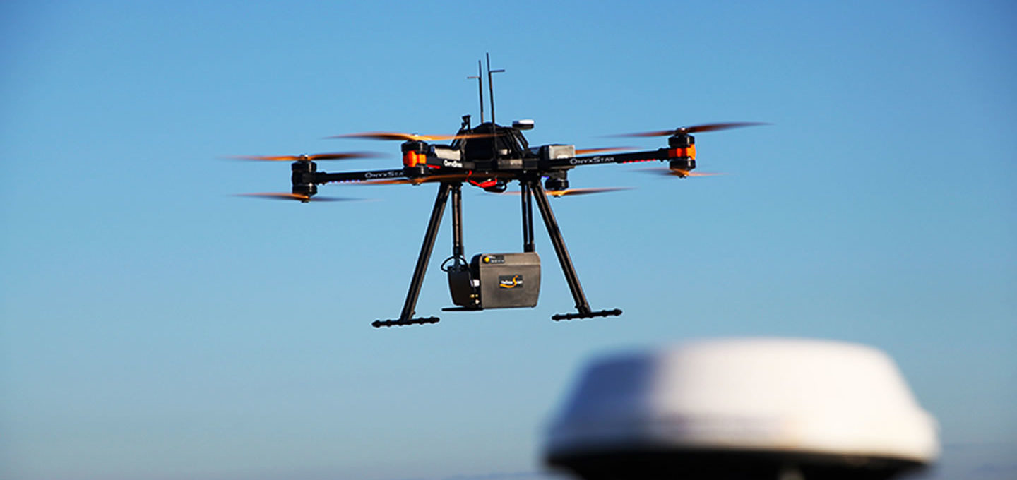
Light detection and ranging, otherwise known as LiDAR, is a surveying technology that sends out up to 160,000 pulses of light per second, measuring how long it takes those pulses to reach the ground and return to the sensor.
This makes it a surveying technology that works in environments that other aerial surveying technologies simply can’t, and one of those environments is anywhere with thick forest canopy or dense vegetation. While technologies like photogrammetry can’t penetrate dense canopy or vegetation, necessitating land-based surveying, the light pulses of LiDAR can make it through anywhere the sun can make it through. Think of the thickest forest you’ve ever been in: you could probably still see thin streams of sunlight coming in through the leafy treetops. That’s how LiDAR will make it to the ground to return measurements to the sensor.
Further, LiDAR can record measurements beginning at the top of the canopy all the way down through the forest floor, providing information on forest structure, if required.
Surveying steep topography
There are many reasons surveying steep topographical areas is necessary, ranging from basic mapping to environmental assessments to wind turbine site surveys. Unfortunately, the number of reasons surveying these areas can be nearly impossible is just as long, with more traditional surveying techniques putting human lives at risk.
Land-based surveying is an obvious source of hazard, with the combination of human surveyors and steep environments representing a risk that simply can’t be taken for many organizations. However, even aerial-based surveying techniques like photogrammetry can put surveyors at risk as photogrammetry requires ground control points be placed in the survey area in order to improve accuracy.
Bring UAV LiDAR into the equation, however, and what you have is an active method of remote sensing that relies on direct georeferencing and therefore reduces or even eliminates the need for ground control points – a significant bonus in areas like cliffsides where having them placed would mean imperiling the workers in charge of placing them.
Linear surveying
Similar to steep topographical surveying, linear surveying is a highly necessary type of surveying in many industries, including transportation, telecommunications, and electrical power. Just like steep topographical surveying, linear surveying is difficult even when accomplished in the air because of those ground control points needed for more standard forms of aerial surveying. If you’re going to need workers placing ground control points along linear stretches that can span dozens and even hundreds of miles, is it worth incurring the cost of an aircraft instead of undertaking land-based surveying?
This is a question that UAV LiDAR renders irrelevant. Eliminate the need for those ground control points by sending an automated industrial UAV up for a beyond visual line of sight or BVLOS flight and linear surveying will never be the same, thankfully.
Automatic upgrade
The advantages of LiDAR in difficult environments are made even more pronounced by an automated industrial drone, one that can complete its entire flight and data collection processes without needing any human intervention. With the need for a drone pilot eliminated, you also eliminate the chance of human error impacting your surveying and mapping accuracy. This isn’t even mentioning the significant cost savings that come with not needing a pilot for an industrial drone.
With improvements in LiDAR sensors and breakthroughs in UAV technologies, surveying is in the process of being revolutionized across industries and around the world. Organizations will soon be leaving inaccurate maps and models in the past, no matter how difficult the terrain.
Photograph by Cargyrak